 array(0) {
}
array(0) {
}
Driving West Virginia’s US 48 to Tucker County
June 21, 2018Getting to Tucker County from the east has never been so easy, or beautiful. Getting the word out about one of the newest highways in America, has never been so difficult. Yes, GPS is a wonderful thing. Until you enter true wilderness. This BLOG is dedicated to driving West Virginia US 48, the exact directions, what to expect, and pictures that will allure all to the one and only, Tucker County.
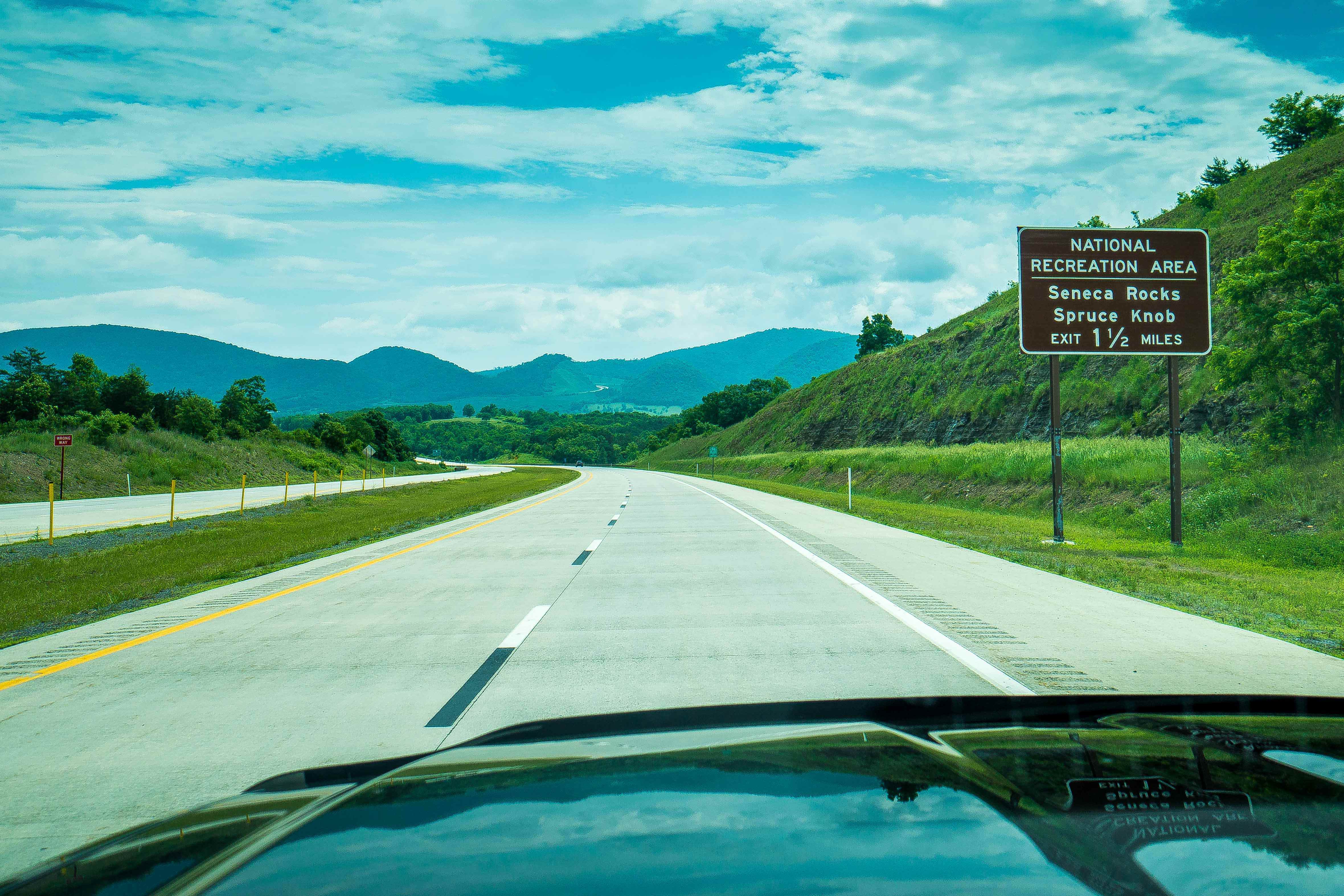
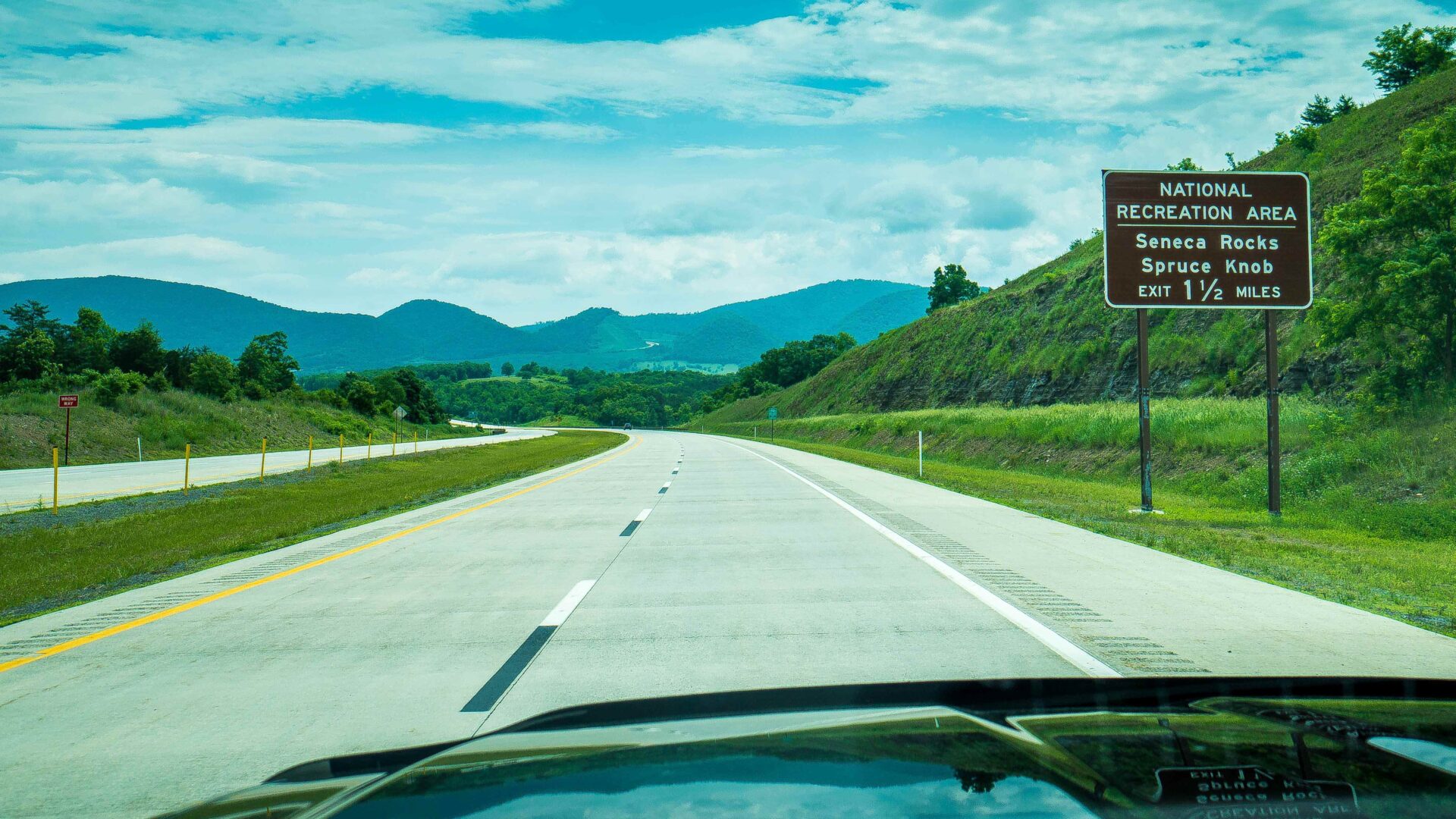
Let’s first address the multiple road numbers confusion. Why so many? Since the highway is not complete west of Davis, WV, original road numbers are retained. Just on the outskirts of the town of Davis is the three way intersection for RT 93/US 48 (east bound). The two lane road, RT 93, extends one mile out of Davis and feeds directly into US 48.
From the east, via Intrastate 81 in Virginia, Route 55/US 48 is accessed from exit 296 in Strasburg, VA. Route 55 is a 20 mile two lane road taking you to Wardensville, WV, where you will feed directly onto the infinitely scenic four lane highway that is US 48. For a little perspective for all you coming from Washington DC, it took me 2hr and 45min, during non-rush hour, to get from Bethesda, MD to Davis, WV.
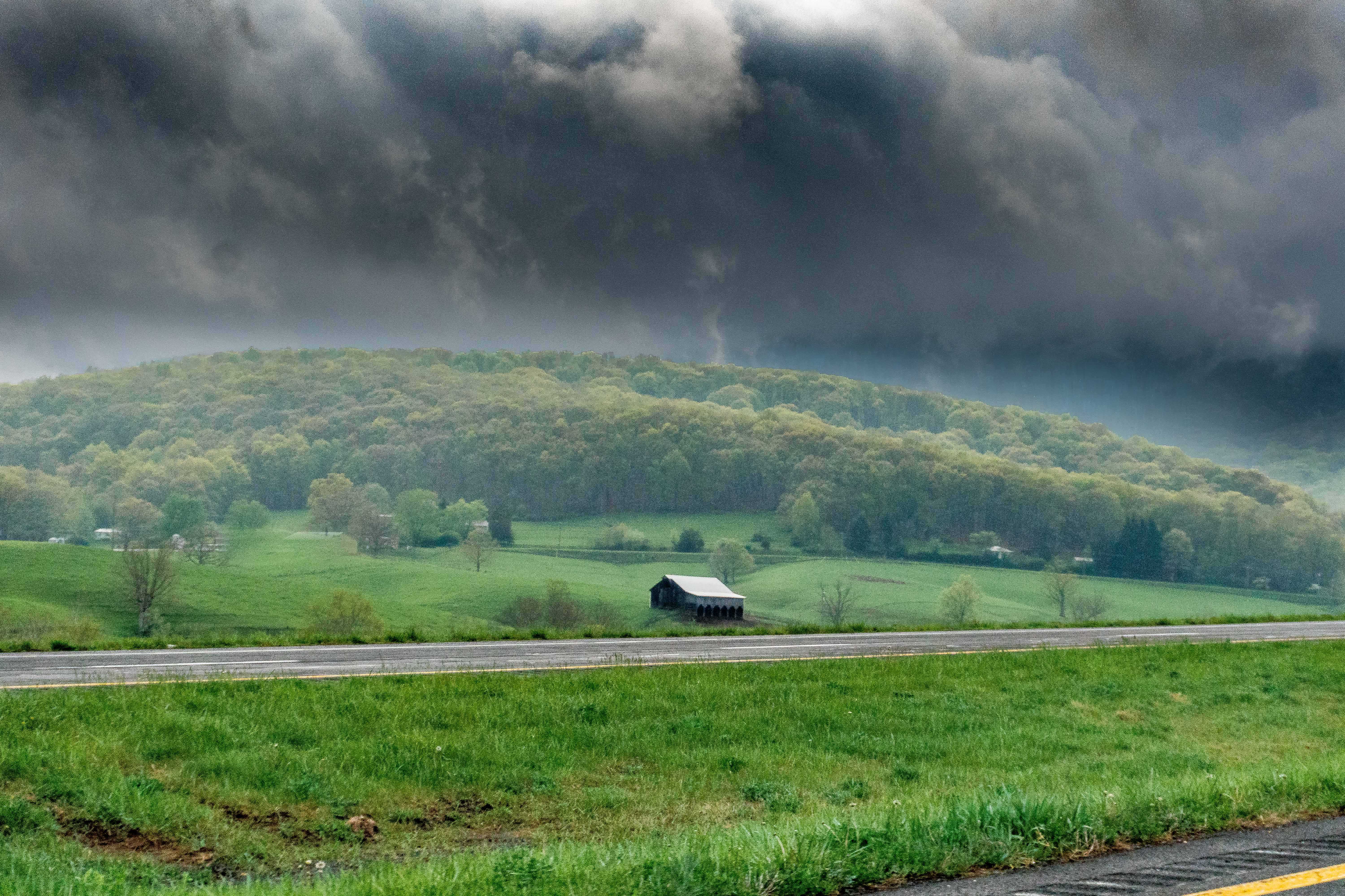
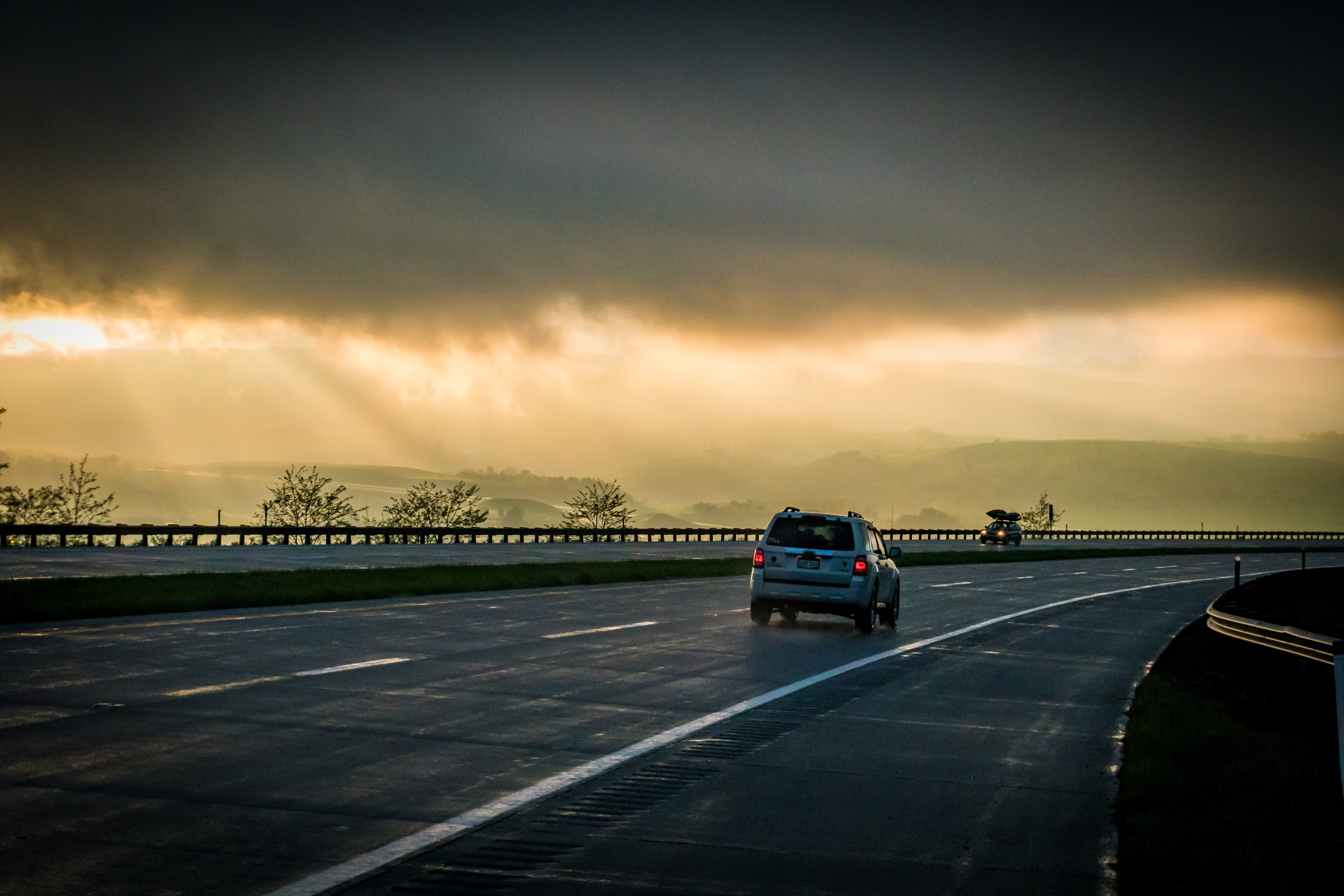
With the fine details behind us, it is now time to enjoy the ride! Watch for Bear. Did that get your attention? And deer, turkey, and coyote. Seriously though, a nice size bear ran in front of my truck in the middle of the day and I happened to be taking photos for this blog. What are the odds…pretty good in wild, wonderful, West Virginia.
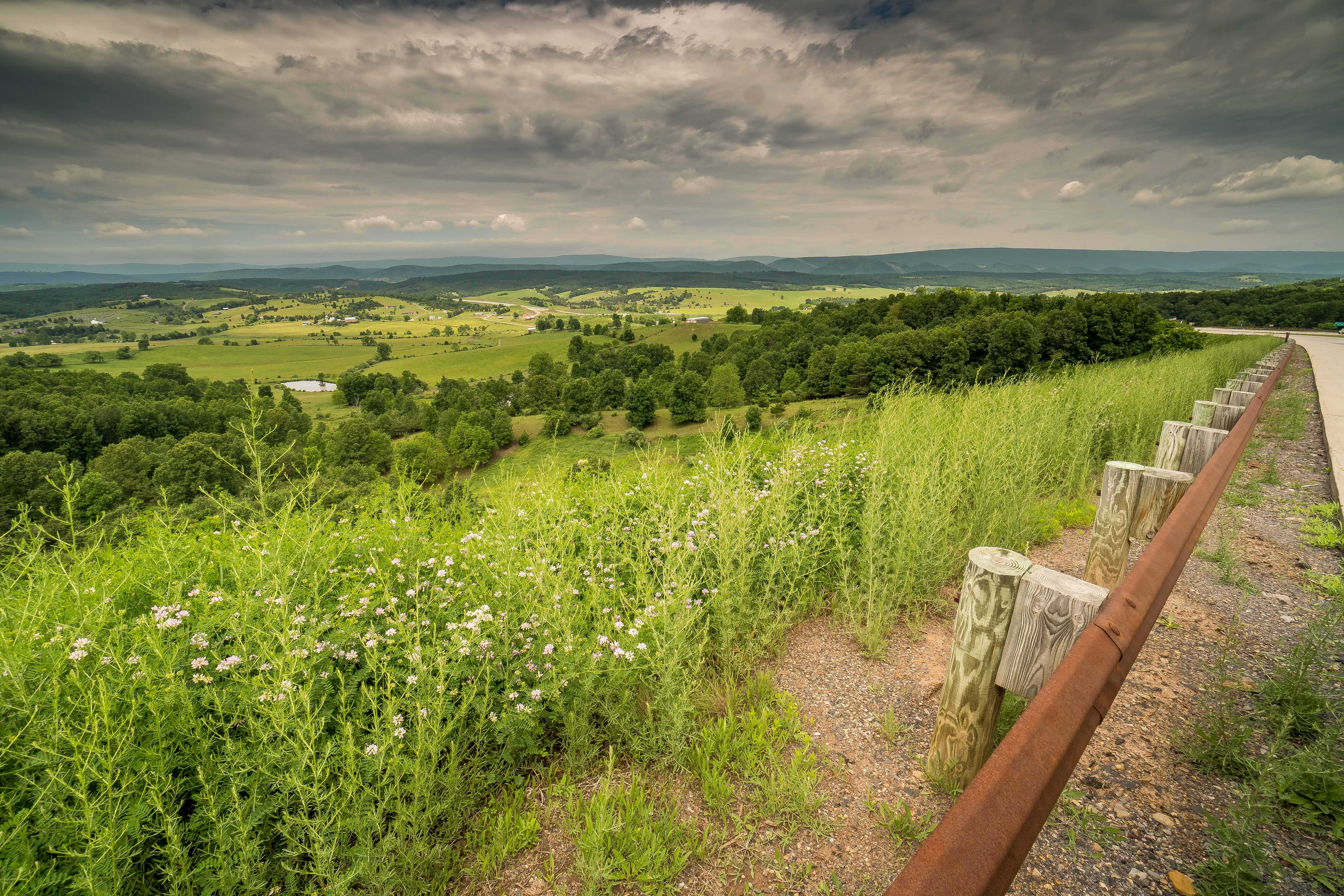
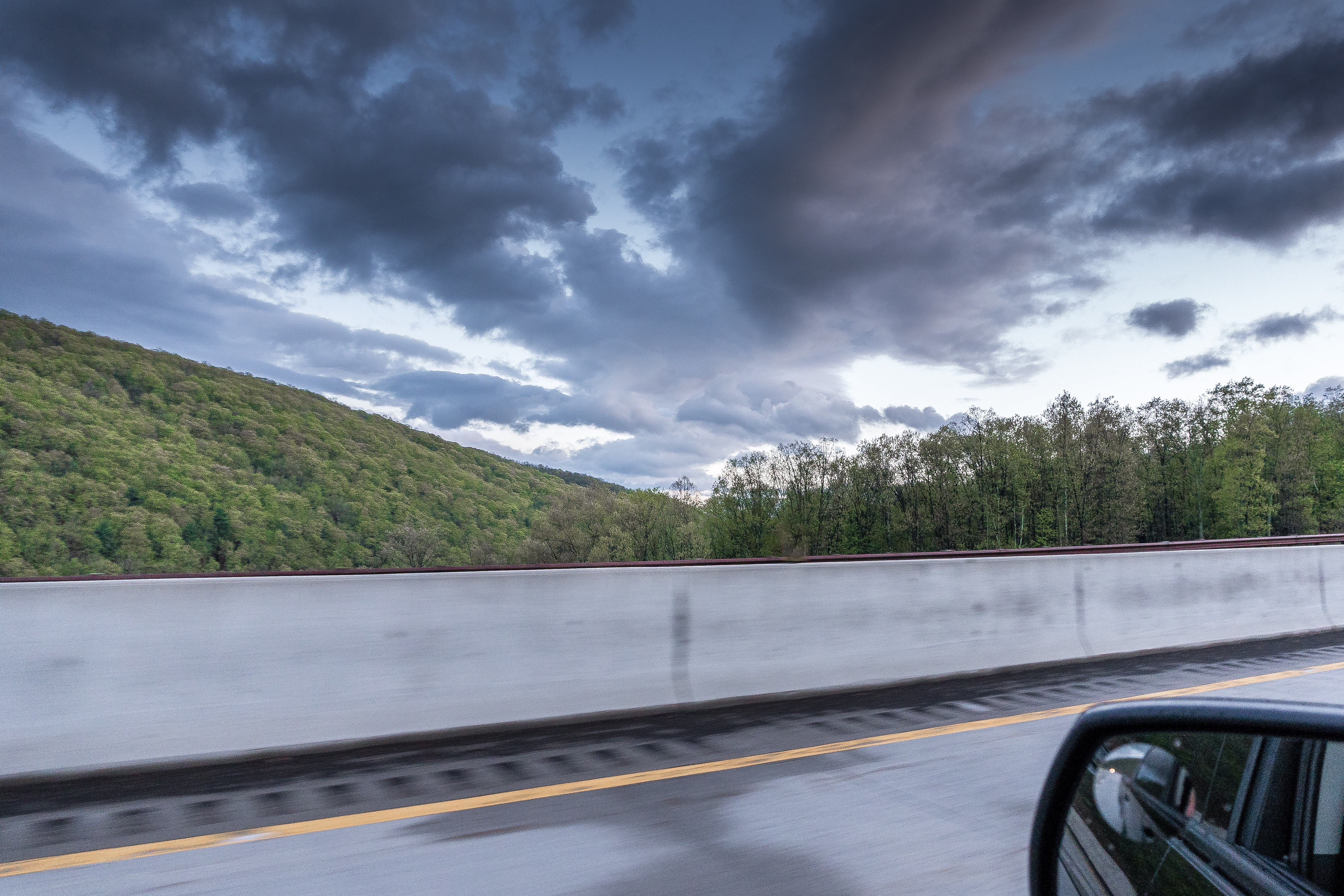
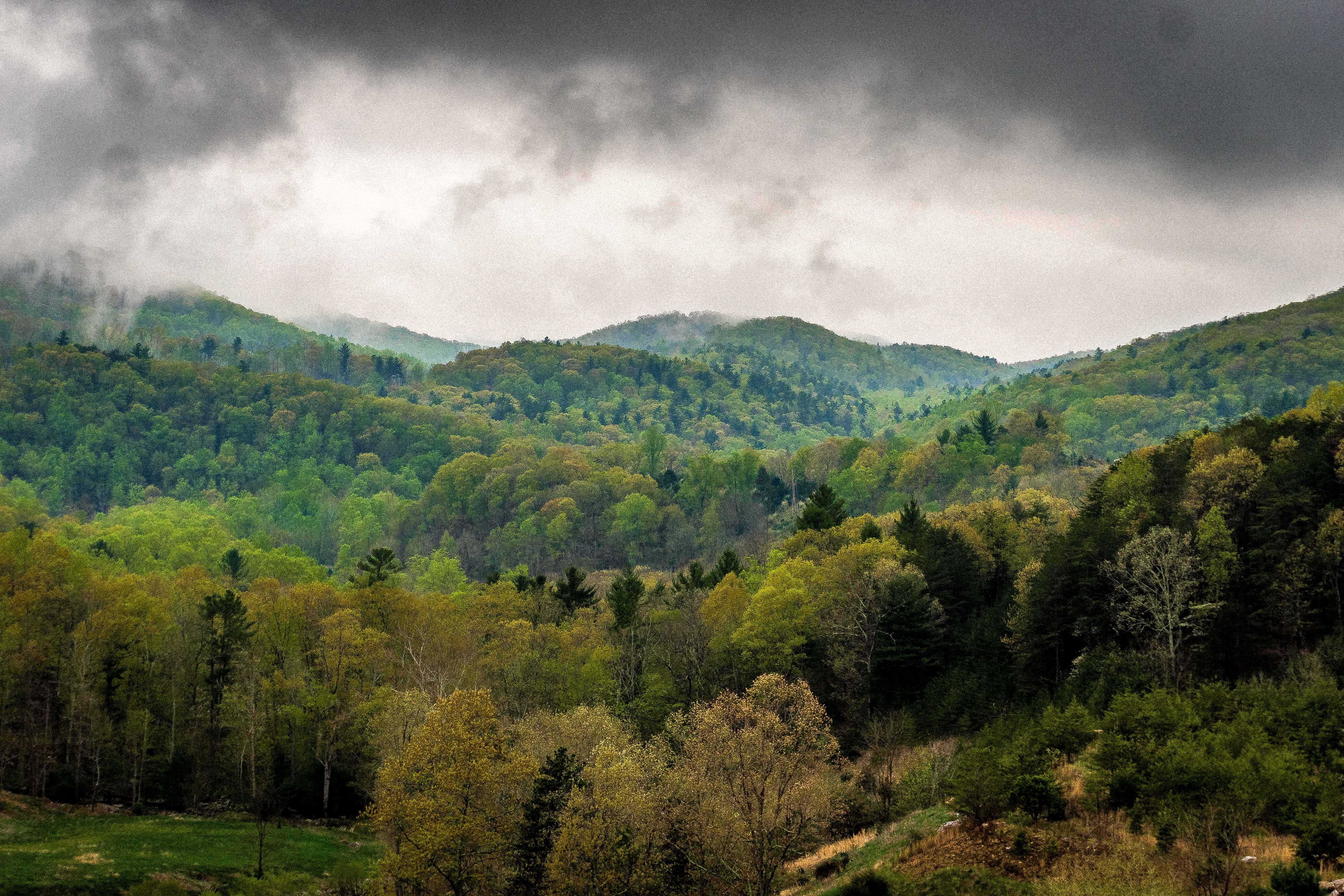
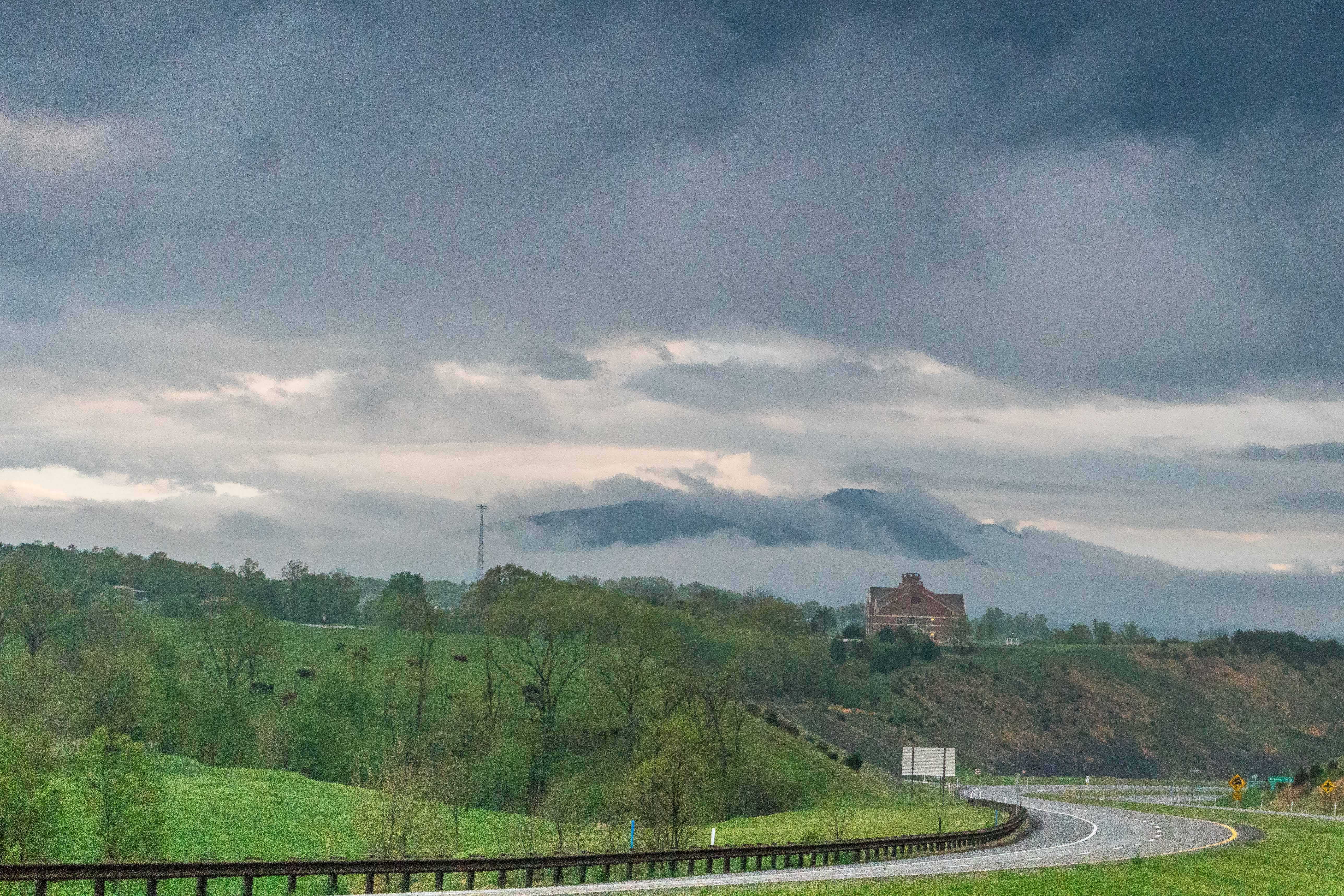
Infinitely steep, green mountains traverse north to south in two National Forests, the George Washington and Monongahela. What makes this such a unique highway is that the road travels over all of the ridge tops, giving a bird’s eye view of the vast valleys below.
Some valleys are miles wide, home to generational farms that are quintessential to American farm culture. The painting “American Gothic” rouses to my mind as guard rails wiz by at a casual 70 miles per hour.
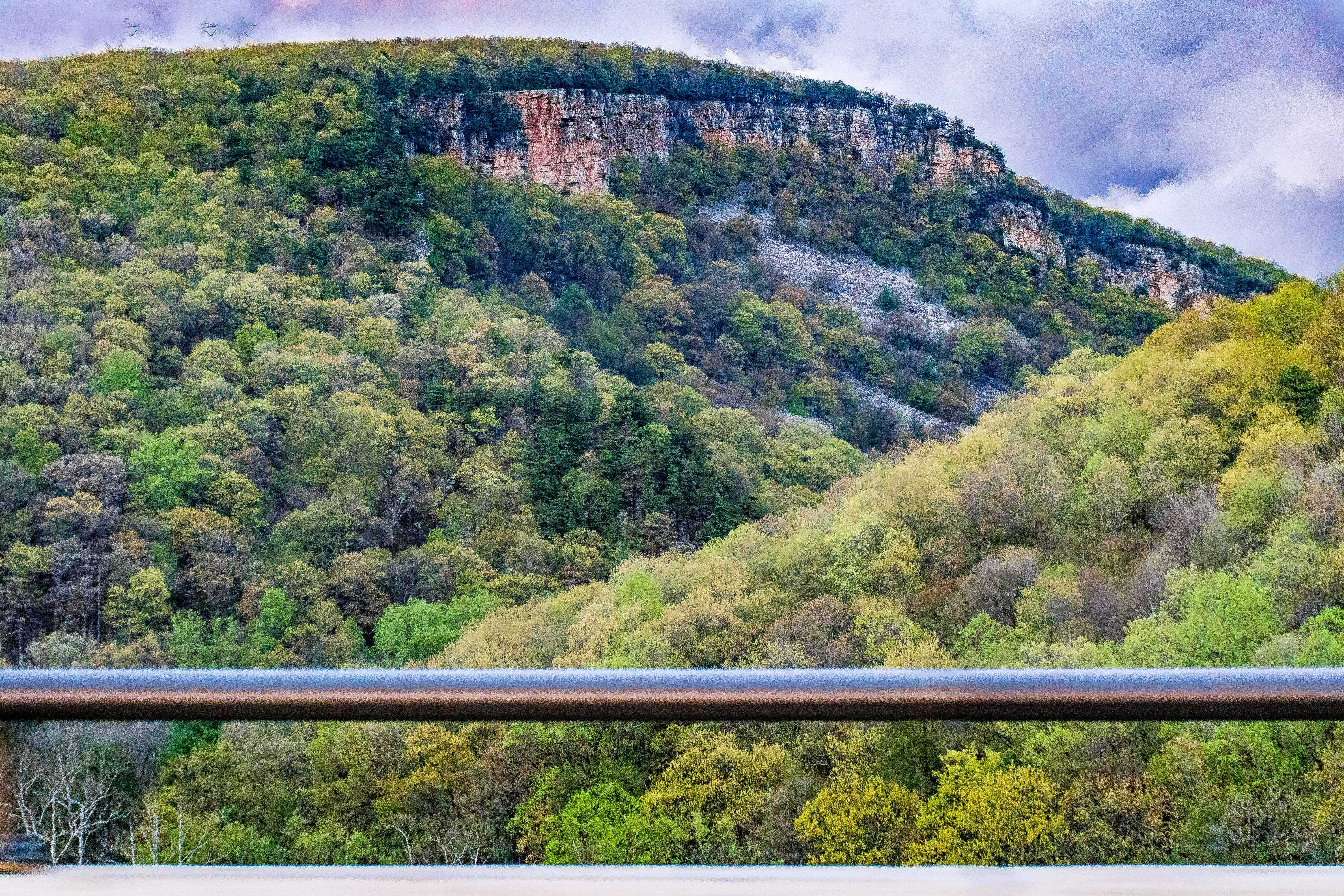
The river gorges that pass through these ancient mountains add to an already dynamic landscape. 100 foot tall Cliff bands are seen above the narrow river valleys, some of which are perched 800 feet above the river bed.
Driving West Virginia US 48 you will find two wonderful towns for a pit stop or incredible, locally owned, dining in Moorefield and Wardensville, WV. There restaurants in each town that definitely stand out. Star Mercantile and Lost River Brewing on RT 55 in Wardensville or O’Neill’s Restaurant located in Moorefield on Main Street, less than a mile from US 48.
Scenic overlooks pepper West Virginia US 48. Don’t miss the opportunity, especially on those clear crisp days when you can see miles in all direction. Remember, you are now on mountain-time. Slow down, smell the fresh air, take a look around, and relax.